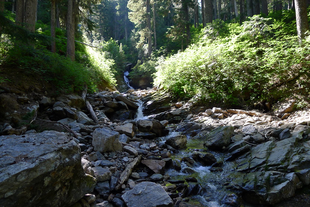
You are currently viewing all posts tagged with wilderness.

Desolation Snowshoe

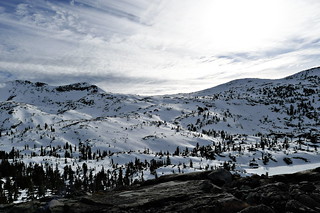
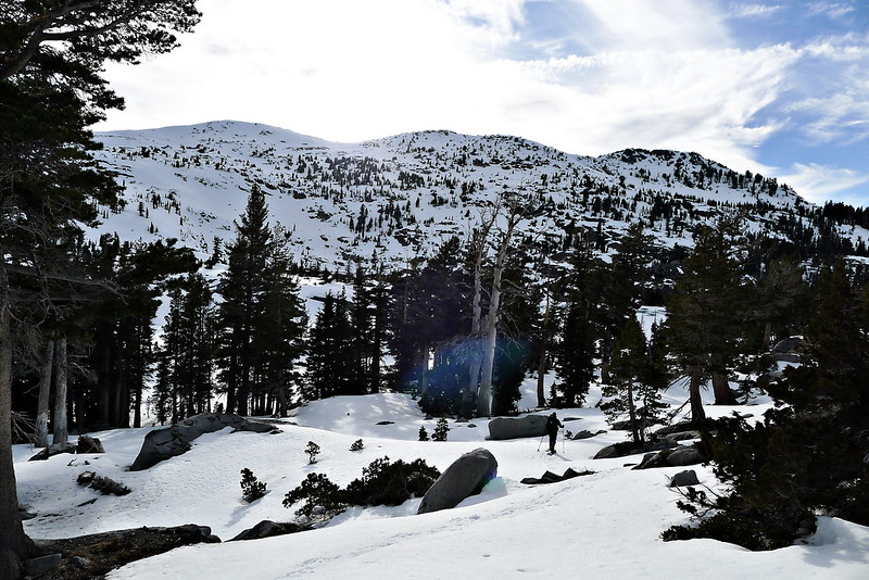
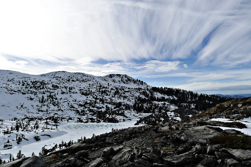
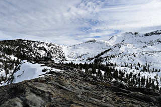
Last month, two of us from work went out looking for snow. There’s not much in the Sierras this year, but we found some at around 8,000 feet in the Desolation Wilderness. Enough to justify hauling our ‘shoes up there, and to provide a good testing ground for some newly purchased gear, as well as our own prototypes.

Fontanillis Lake

  • Toward's Dicks Pass, PCT
  • Across the ridge to the Rubicon

Hunting for Camp

This weekend I headed to the area around the North Fork of the Skykomish.

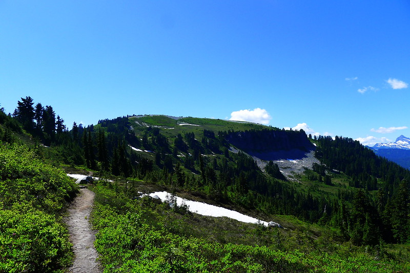
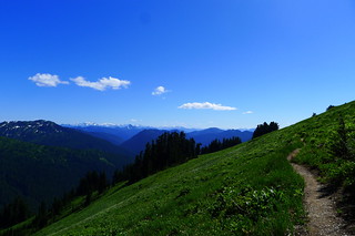
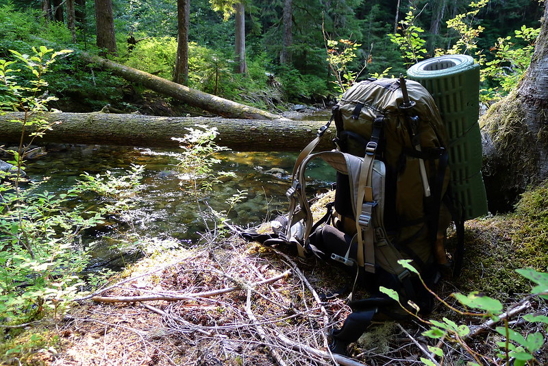
I refer to this area as a confluence of Wilderness. The Wild Sky Wilderness, Henry M. Jackson Wilderness, and Glacier Peak Wilderness all meet here. This trip was spent on and around Cady Ridge, field testing the Hill People Gear Ute.

Toward Benchmark

  • West Cady Ridge
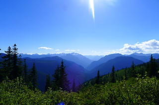
  • Mountain Valleys

The Modern Woodsman as a cross-disciplinary wilderness traveler.

At Wood Trekker Ross introduces his concept of the modern woodsman.

… [T]he modern woodsman is a person who is able to undertake long term trips, deep into the wilderness, only with supplies one could carry and what could be gathered from the surrounding environment… He uses technology, skills and equipment based on efficiency and practicality. He applies modern hunting techniques, modern understanding of nutrition, and modern climbing, mountaineering, and packrafting techniques. His equipment includes tools that are best suited for the task without consideration for nostalgia and sentimentality.

Thoughts on a Spring Tour

I’m new enough to bicycle touring that it holds a certain novelty which is lost to me with backpacking. Last week’s 4-day trip is the longest I’ve completed on a bike. Much of the skills and gear crosses over from backpacking to bicycle touring, but there are some differences.

Third Camp

When backpacking, any extra weight is noticeable but I rarely fill my pack. On the bike I find that I’m much more concerned about bulk than weight. A few extra ounces – or even a pound – of weight makes no difference to me when riding a bike, but I do always fill my bags.

Bikepacking bags make sense and I’m a firm proponent of their use. Using them exclusively, without a rack, seems silly to me. A bike without a rack is like a pack without a frame. It may save a small amount of weight, but the trade-off is an unnecessary limitation on your carrying ability.

Luggage

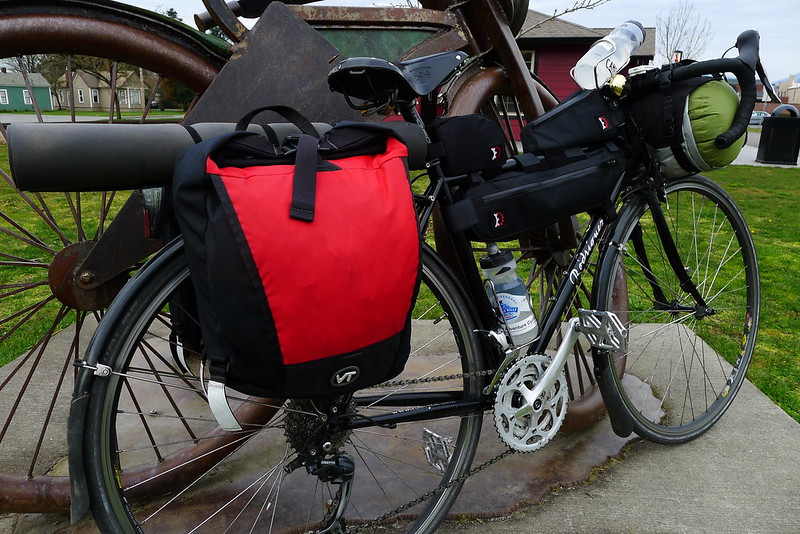
Last week’s tour was the first in which I used panniers to supplement the bikepacking luggage. I opted for a small set (custom built by a local company) that are actually intended as front panniers. The smaller size was much more appropriate for my needs than standard sized rear panniers. I foresee them being used on all future trips.

A couple weeks ago I swapped out my crank. My old crank had the standard 30/42/52 gearing that you’ll find on most road triples. When you stop to think about it, it isn’t a very practical combination. I swapped it for a Sugino XD-600 with 26/36/48 chainrings. Paired with my 11-32 9-speed cassette, this has proven itself to be perfect. On my commute I can race along in the 48-tooth ring, smoking latex-clad roadies. When confronted with mountains on a loaded bike I can drop down to the 26-tooth ring and spin merrily to the top.

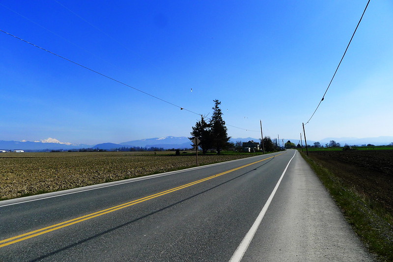
Skagit Flats

I feel like I have a pretty decent grasp on most of the backcountry around here thanks to travel on foot. My bike is allowing me to build a similar mental map of the backroads. And the eating is better.

Today I went looking for some snow.

And I found some.

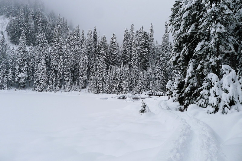
A Snowy Lake

A Mountain Loop Tour

Late Saturday morning I loaded up my bike and took off for the mountains. The plan was to head out to Granite Falls, pick up the Mountain Loop Highway, and spend the night somewhere around Barlow Pass. The following day I would continue along the highway to Darrington and head back to Everett to complete the loop.

The way out of town is an unremarkable ride along the shoulders of two state highways. It doesn’t take long to reach Granite Falls, where the Mountain Loop Highway begins.
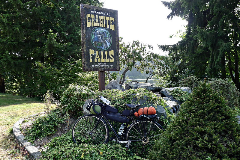
Granite Falls

I’ve driven the highway into the mountains countless of times – many of my favorite trailheads are located off of it – but this was the first time I had pedalled it. The highway itself doesn’t get too high. The highest point is probably a little under 3,000 feet, but I was starting from sea-level, so there were a few hills to climb. I shifted down to my granny gear and prepared to spin my way up, past the quarries and mines and the masonic park that always gives me a slight feeling of discomfort. The National Forest begins near the top.
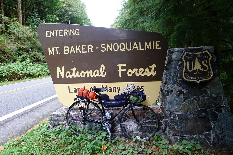
Entering the Forest

After entering the forest the highway follows along next to the south fork of the Sauk, which makes for a pleasant, flat-ish ride, with very little motorized traffic to interfere. Most of the established camp grounds are closed this time of year – “closed” being National Forest Service code for empty and free.
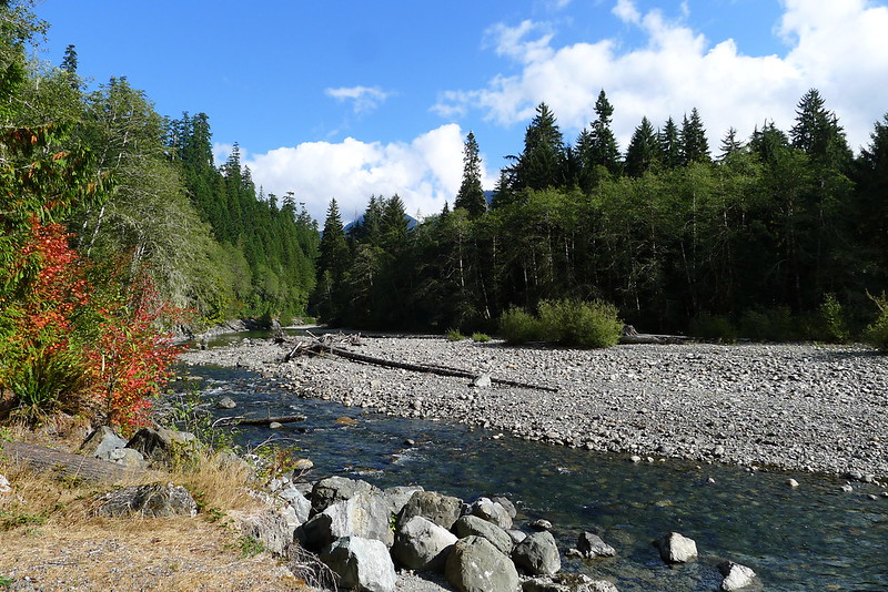
South Fork Sauk

I had initially intended to spend the night somewhere along this stretch, but it was only mid-afternoon. I decided to head a bit further and camp around Barlow Pass. The pavement ends at the pass and the highway loops down and out of the mountains along a narrow gravel road. When I reached the pass the Sheriff was there, sorting through his ring of hundreds of keys, attempting to locate the one to unlock the gate at the start of the road to Monte Cristo. Apparently a young boy was hiking out there with his family and cut himself on a piece of old mining equipment. The search and rescue team were on their way up but would need to get through the gate. It must have been some cut to warrant the response.
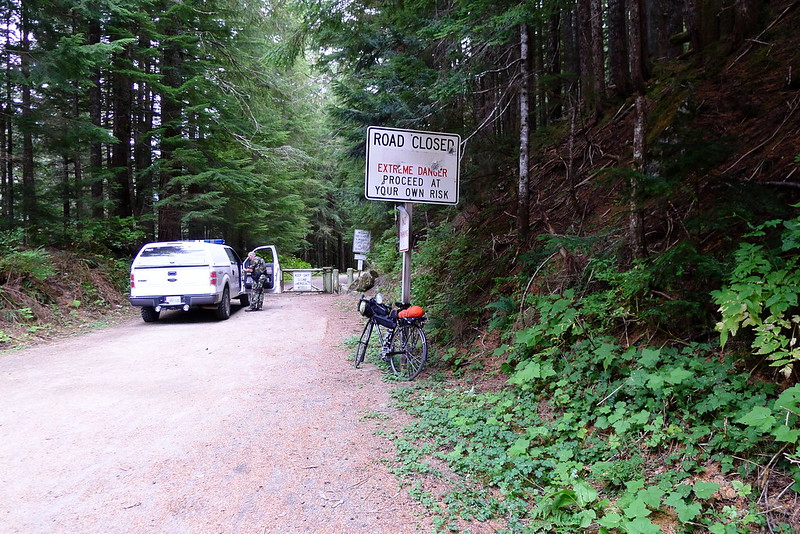
Sheriff at Barlow Pass

There was plenty of light left at the pass. I amended my plan once more and took off down the unpaved section of road, deciding to camp somewhere in the woods below. The road is in pretty decent condition, by Forest Service standards. There aren’t too many potholes and the gravel isn’t layed on too thick. It makes for a bumpy ride, but my skinny 700x25 tires handled it fine. I pulled over for a quick dinner at 6PM and then got back on the road, intending to ride till 7PM. That would give me about 30 minutes to make camp before it got dark.
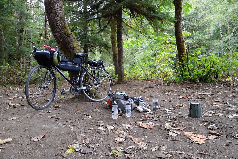
Dinner

At 7PM I found myself near a picnic area with a short trail that led into the woods to a small clearing with a table and enough room for a tarp. I pitched camp there and went to bed not long after.

The morning was chill. I rose with the sun. After fueling up with oatmeal I shook the frost off my tarp and packed everything back on the bike. I only had a couple bumpy miles to pedal before reaching the pavement again.
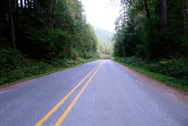
Back on the Pavement

I was perhaps too optimistic when I packed only fingerless gloves. The cold air caused a sharp pain in my fingertips. I stoked the furnace a bit by breaking off a few hunks from a bar of dark chocolate that I kept readily accessible in my frame bag. Either the chocolate or the rising sun worked.
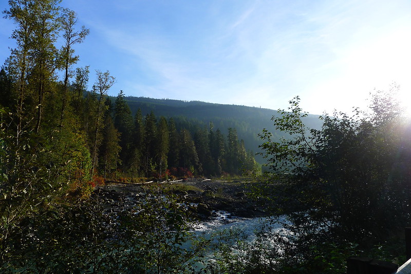
North Fork Sauk

At Darrington I reached the end of the Mountain Loop Highway. The next leg of the trip would be along SR 530. It was the stretch I was looking forward to most. I had never ridden it before, but each time I drove along it the road struck me as a wonderful stretch of pavement to pedal. It travels through the foothills of the Cascades, along pastoral scenes set against mountain backdrops. Horses and cows outnumber motorized traffic.
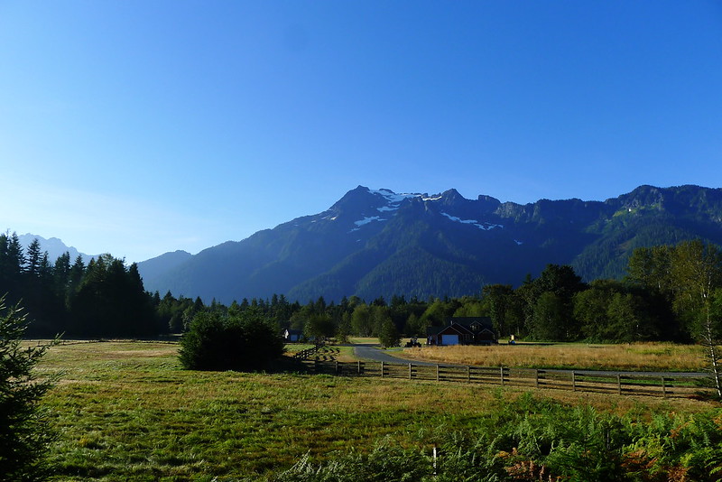
Along the Arlington-Darrington Road

The road lived up to my expectations. I cruised along the meandering highway until reaching Arlington in the late morning. There I stopped at the Shire Cafe (in the same building as the Mirkwood game store, Mordor tattoo, and Rivendell hair salon) for a breakfast burrito – enough fuel for 53 miles. A block away I picked up the Centennial Trail.
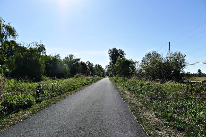
Centennial Trail

I pedalled down the trail, though the woods of the county, before cutting west out to Marysville, from where I went over the sloughs and the Snohomish river to complete my loop back in Everett. In town I detoured to the waterfront farmer’s market to conclude the trip with an apple and baguette of victory.
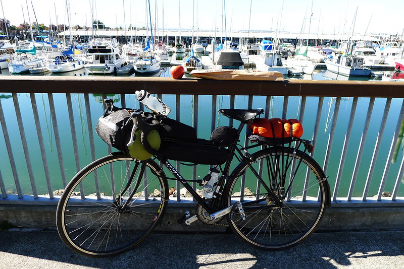
Apple and Victory Baguette in Everett

This is the best ride I’ve yet to do all within Snohomish County. The route looked roughly like this. I think that my mileage was closer to 130 miles. The trip could probably be done in a full day, but I enjoyed it as a leisurely overnight trip. It took me 26 hours, door to door.
I spent the equinox in the Glacier Peak Wilderness.

A few days. Me and a pack and some mountains.

Goodbye summer, hello fall.

Ruck

A Confluence of Wilderness

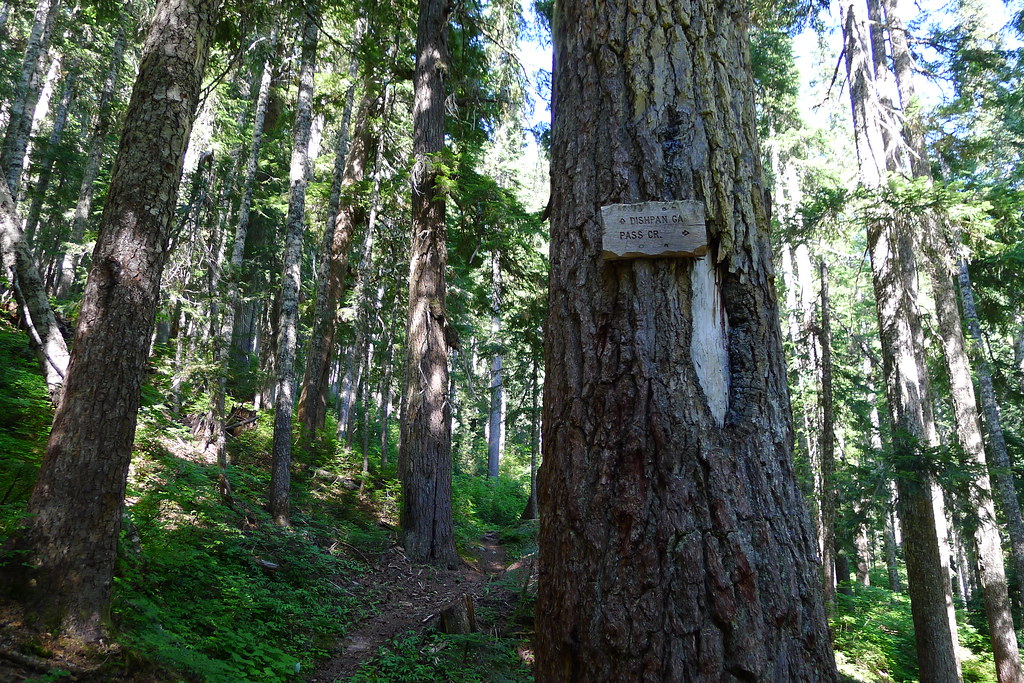
Begin where Forest Road 63 ends. Step around the barrier and immediately enter the Wild Sky Wilderness. Parallel the north fork of the Skykomish River along the old road, watching as the road slowly changes into trail. Shortly, enter the Henry M. Jackson Wilderness. Pass a junction with the Pass Creek Trail.

Pass Creek and North Fork Sky Junction

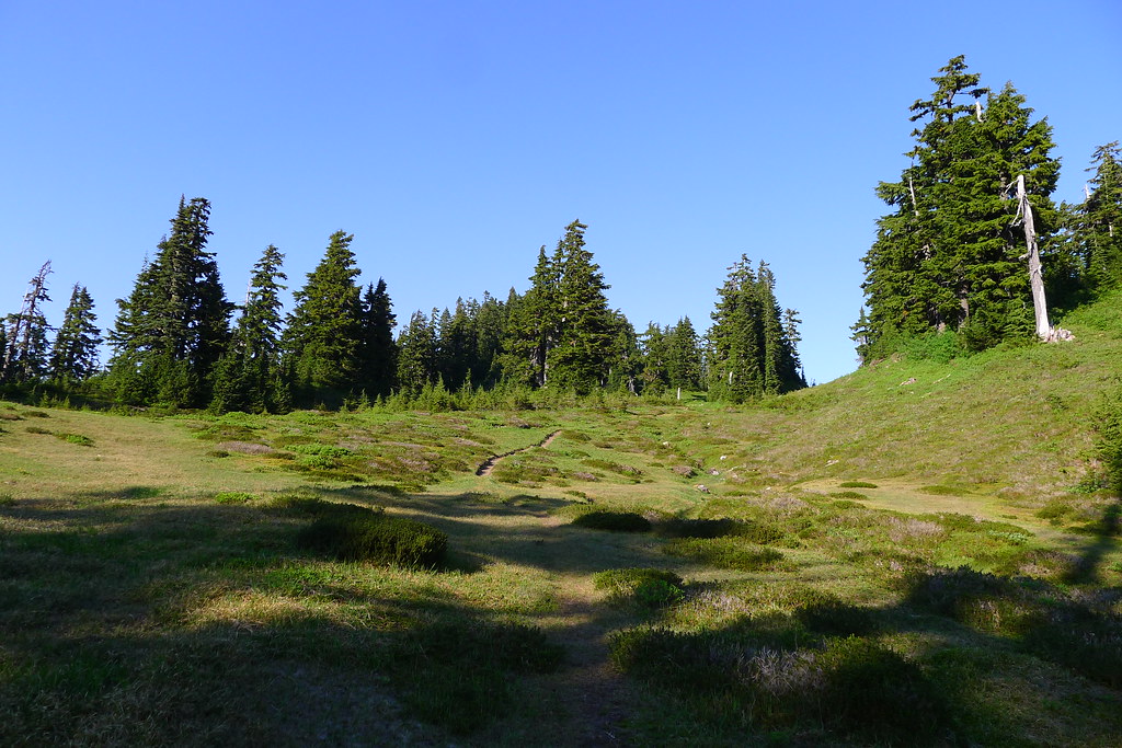
Continue along the north fork of the Sky, as the trail slowly gains elevation. Enter into meadows with views of Long John Mountain and June Mountain to the north and Skykomish Peak to the south. Climb still further, and reach Dishpan Gap.

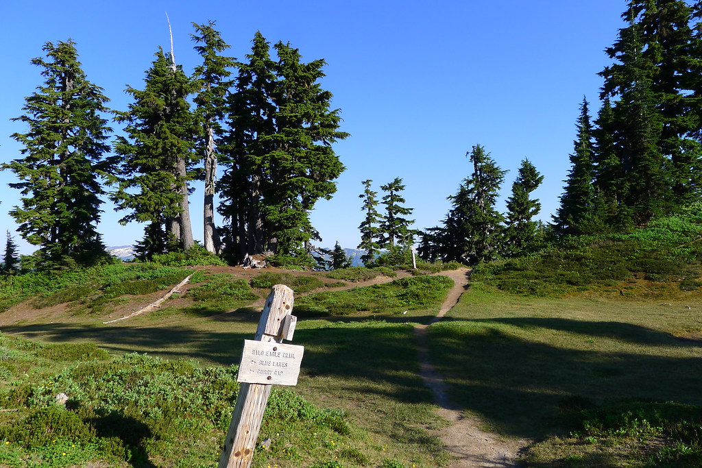
Dishpan Gap

At the junction, consider a short detour north to nearby Blue Lake and Pilot Ridge, in the Glacier Peak Wilderness, but decide against it. Instead, take the Pacific Crest Trail south.

Junction at Dishpan Gap

Walk along the ridge. Gaze south, to far off Stuart Peak, and west to the distinctive snow-capped peaks of Gothic Basin and surroundings. Feel some sense of satisfaction at having traveled a piece of this country.

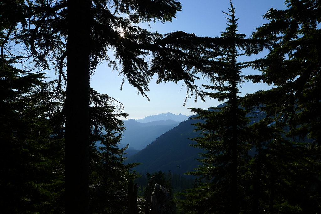
Mountains of Monte Cristo through Trees

Head over Wards Pass, pass the junction with Cady Ridge, and reach Lake Sally Ann. Pitch camp. Eat dinner. Wish your moon-shadow a good night, and retire.

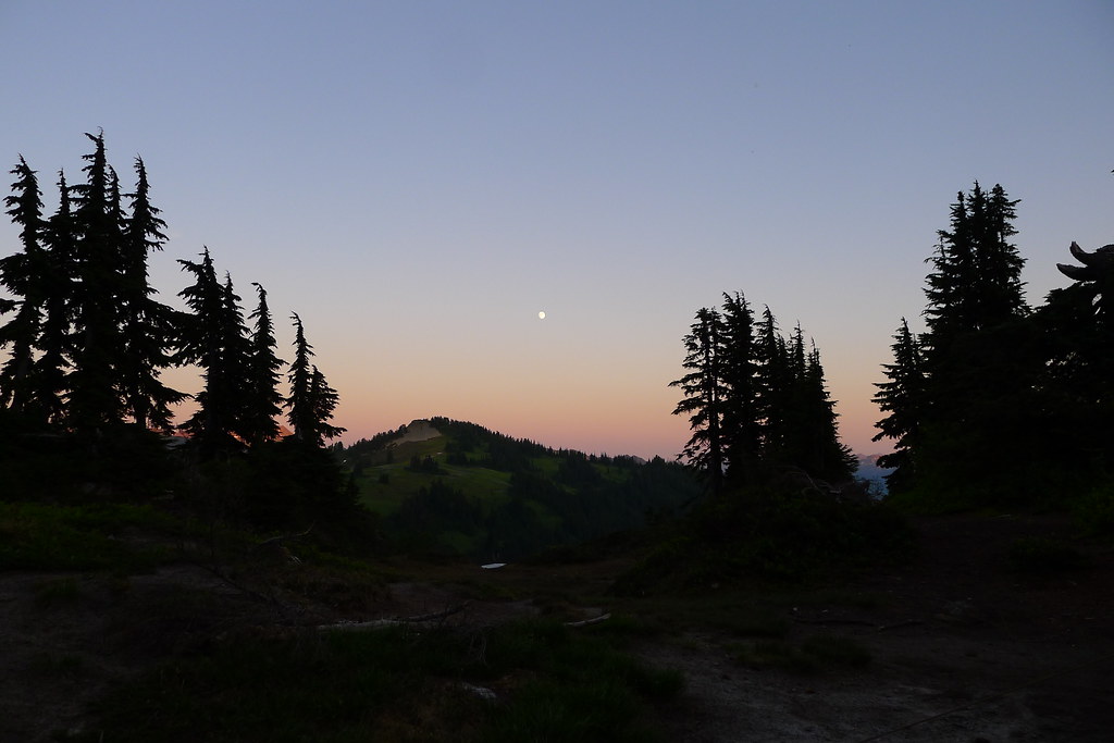
Moonrise over Bryant Peak

Rise in the morning. Not too early, not too late. Feel the warmth of the morning sun. Break fast, break camp, and step back onto the PCT. Head south once more.

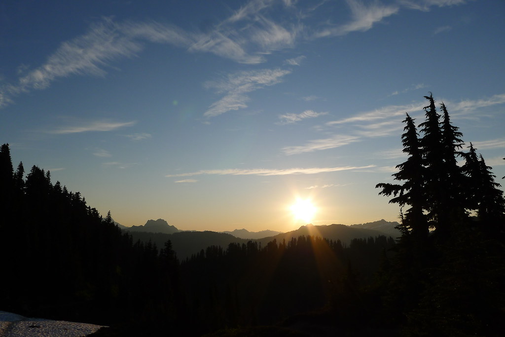
Sunrise over Wenatchee Ridge

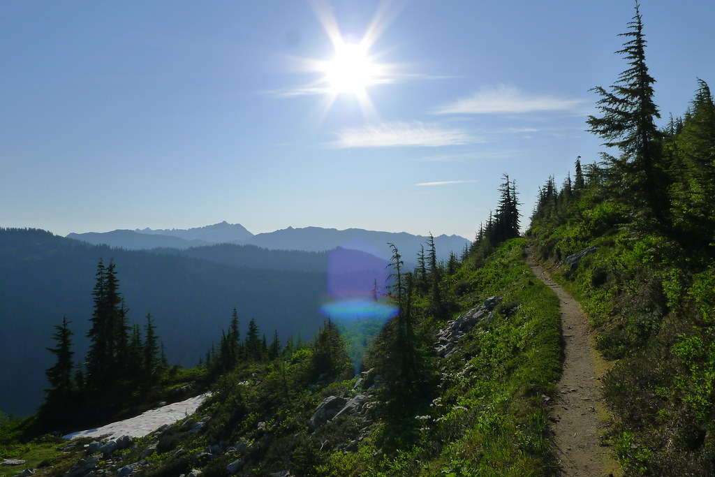
Walk along the shoulder of Skykomish Peak, through open meadows, and look east to green Wenatchee Ridge.

Morning on the PCT

Descend into old growth trees. Reach Cady Pass, and continue past it. At Pass Creek, sit and think. Contemplate a route along West Cady Ridge, but allow laziness to win and choose the shorter path along Pass Creek.

Pass Creek Trickle

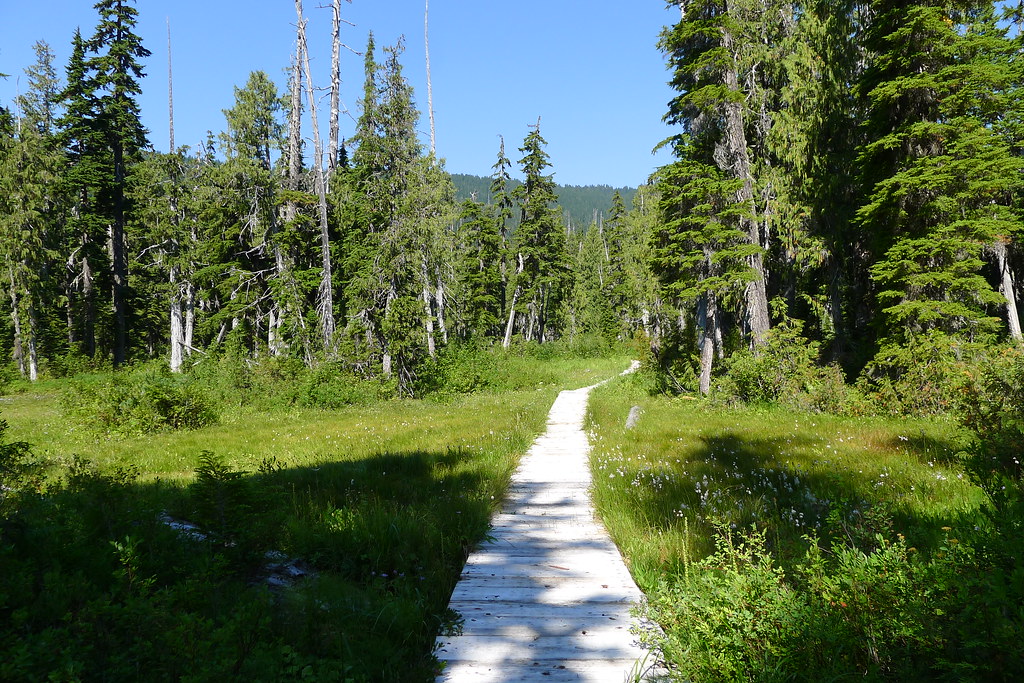
Descend the gradual valley of Pass Creek, crossing the low creek once or twice. At the bottom, reach a boardwalk that crosses the marsh. After, ford the cool and strong North Fork. Thereafter, arrive at the familiar junction with the North Fork trail.

Pass Creek Boardwalk

Walk south and west, watching as the trail slowly changes into road. There, ahead, is Forest Road 63.