High Summer Rambling in the Chiwaukum Mountains
Continuing with my recent theme of short, low-mileage trips I ventured back into the Alpine Lakes Wilderness last weekend. After hitting snow at low elevations at the Foss Lakes the previous week, I decided this time to head east of the crest.
Whitepine Creek runs just west of Leavenworth and provides a lesser known and lesser used route onto Icicle Ridge and the surrounding area, compared to the popular Icicle Creek Road. I reached the nearest trailhead at midmorning on Friday. As I pulled my pack out of the car, I realized something was missing. Whoops, no trekking pole! I only ever carry one pole anymore, and don’t find it to be required gear for walking. Its import lies in the fact that I use it to set up my tarp. The pole isn’t needed when I string up the tarp between two trees – which I prefer to do whenever two conveniently placed trees present themselves at my intended camp – but I would be getting high on this trip and thought it likely that I would be spending a night or two above tree line.
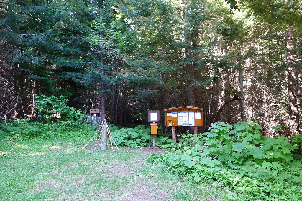
Near the trailhead’s bulletin board I spotted a few walking sticks leaning against a stump. Throwing the pack on my back, I walked over to the sticks and inspected the lot for one that would suit me. I found one that was light and skinny, but still strong enough to serve for any swift stream crossings that may lay ahead. It was a good height for walking, which meant it was too tall for the front beak of the tarp. I could cut it down to size later.
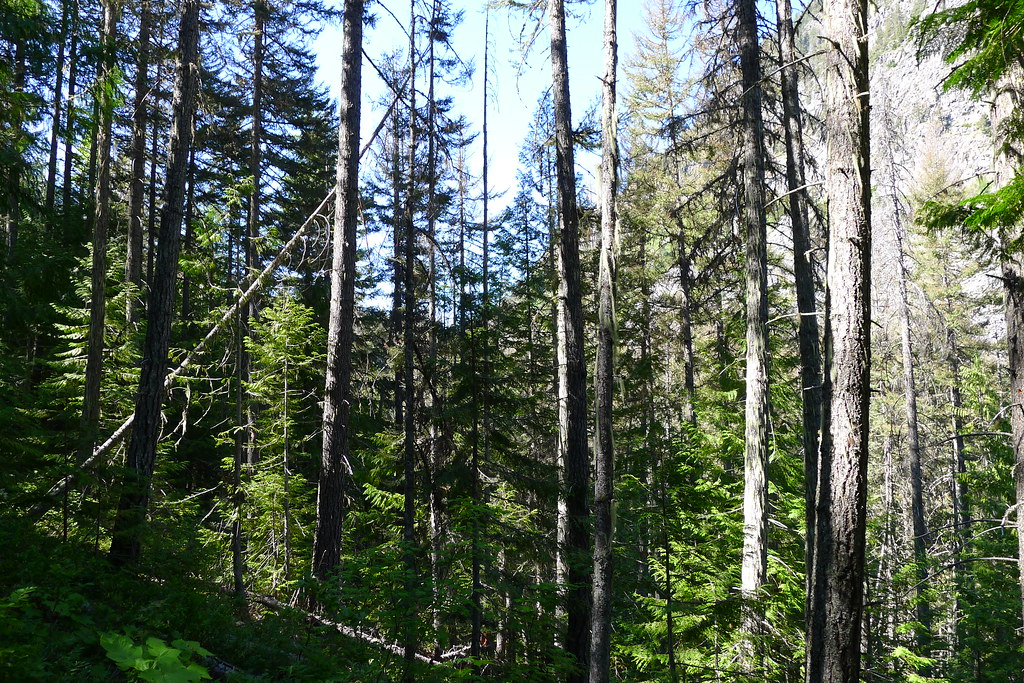
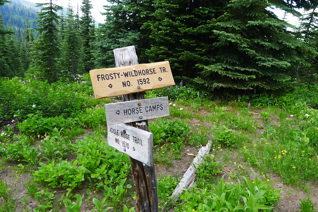
With stick in hand, I headed out. The trail leads into the Whitepine valley, filled with thick pine woods which provide shade from the morning sun. Occasionally, I caught a glimpse of the valley ridge above. At two and a half miles, I reached a junction with Wildhorse creek, which drains into Whitepine on its way out of the mountains. I took a left and began the climb up the Wildhorse valley, to its head at Frosty Pass and the high country beyond.
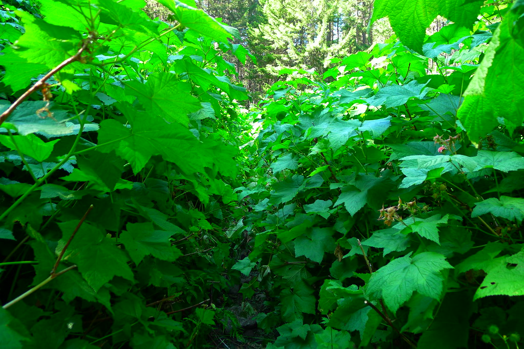
The Whitepine and the Wildhorse sit in the Chiwaukum Mountains, which in Wenatchee means many-little-creeks-leading-together. True to form, dozens of small creeks flow down the otherwise dry eastern ridge of the Wildhorse, turning it into a wet hike. In places the trail was a creek. In others, the small amount of use and large amount of moisture had created thick patches of salmon berry and devil’s club that obscured the trail. I push through it, hoping that I’m the only one walking through this berry feast at the moment.
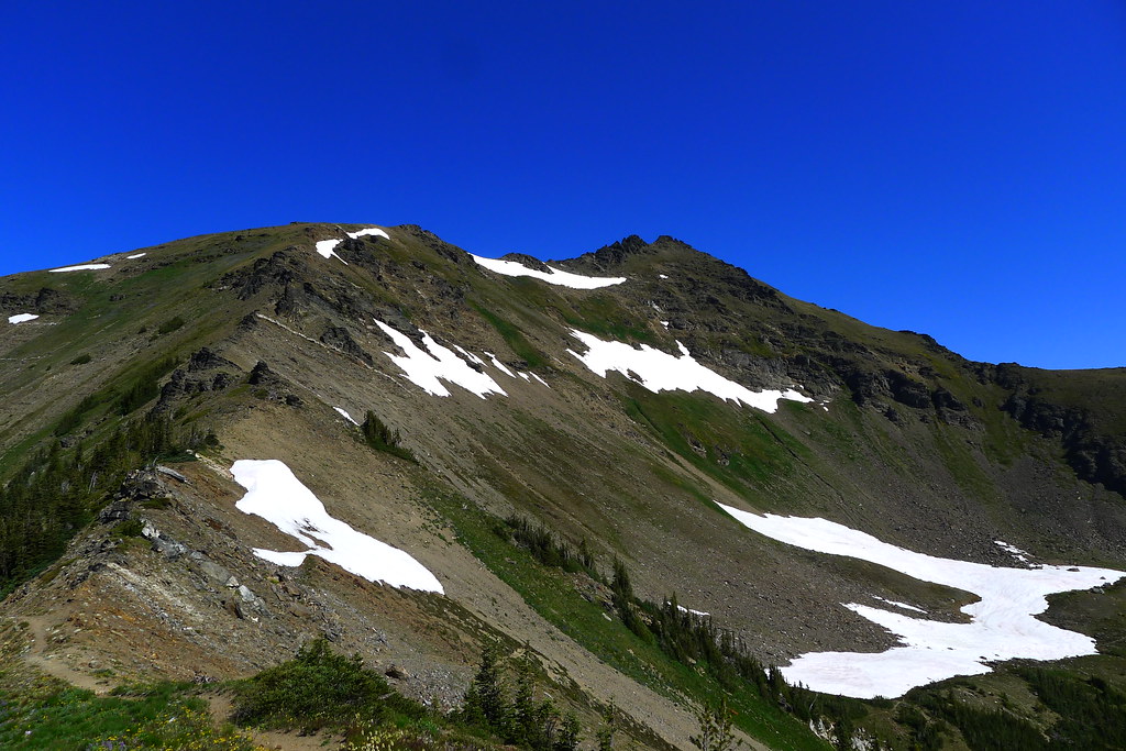
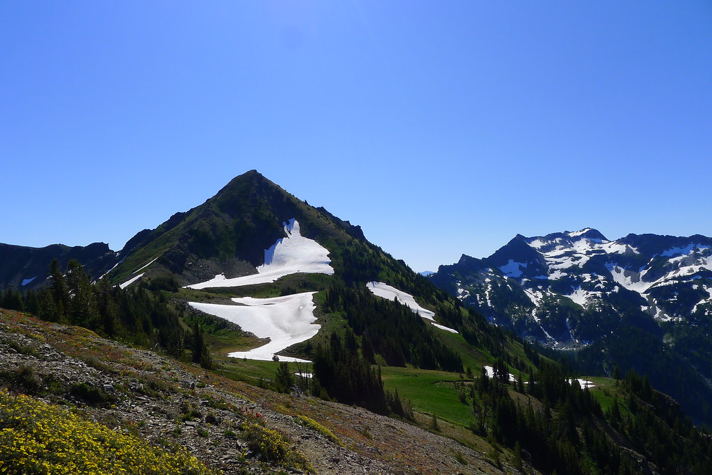
As the trail lead higher, the trees began to thin and the views along the opposite ridge reveal high peaks and green fields.
With wet, muddy feet I reached Frosty Pass sometime in mid-afternoon., around 10 miles and a few thousand feet of elevation from the trail head. The sun is strong. The weather forecast called for 90°F down below. It doesn’t feel much cooler up here.
From Frosty Pass, my route headed directly east and climbed up to Icicle Ridge. Shortly, I reached the first of the ridge’s lakes, Lake Mary, which was my destination for the day.
In the time that it took to set my pack down and take a drink of water, I had dozens of mosquitos biting my skin. I was ready for them this time, after having a similar experience last week. Rain pants, rain jacket, hat, headnet and gloves all came out of my pack. I soon was protected inside a sweaty bug suit.
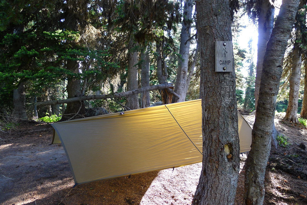
I tied my tarp up between a couple trees, avoiding having to cut my walking stick down to length for a front pole. Below the tarp, went my bivy sack. Rain didn’t seem likely, but the net hood of the bivy would ensure a bug-free night.
That night I was awoken by some clomping off to the south of camp. Something larger than a mouse, but smaller than a Sasquatch.
Saturday morning I broke camp upon waking, wanting to get someplace higher and breezier than buggy Lake Mary before breakfast.
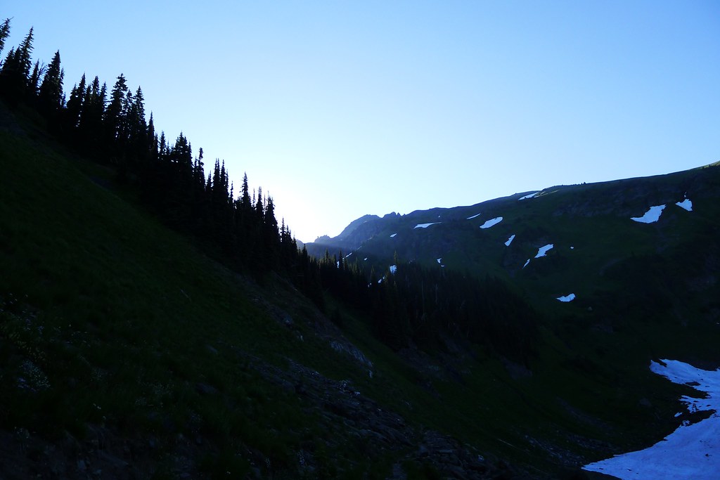
Past the lake, the trail climbs to Mary’s Pass. As I walked, I watched the sun’s rays creep over the eastern ridge and brighten the lower valley. Marmots scampered down the trail, and the mosquitoes continued to buzz.
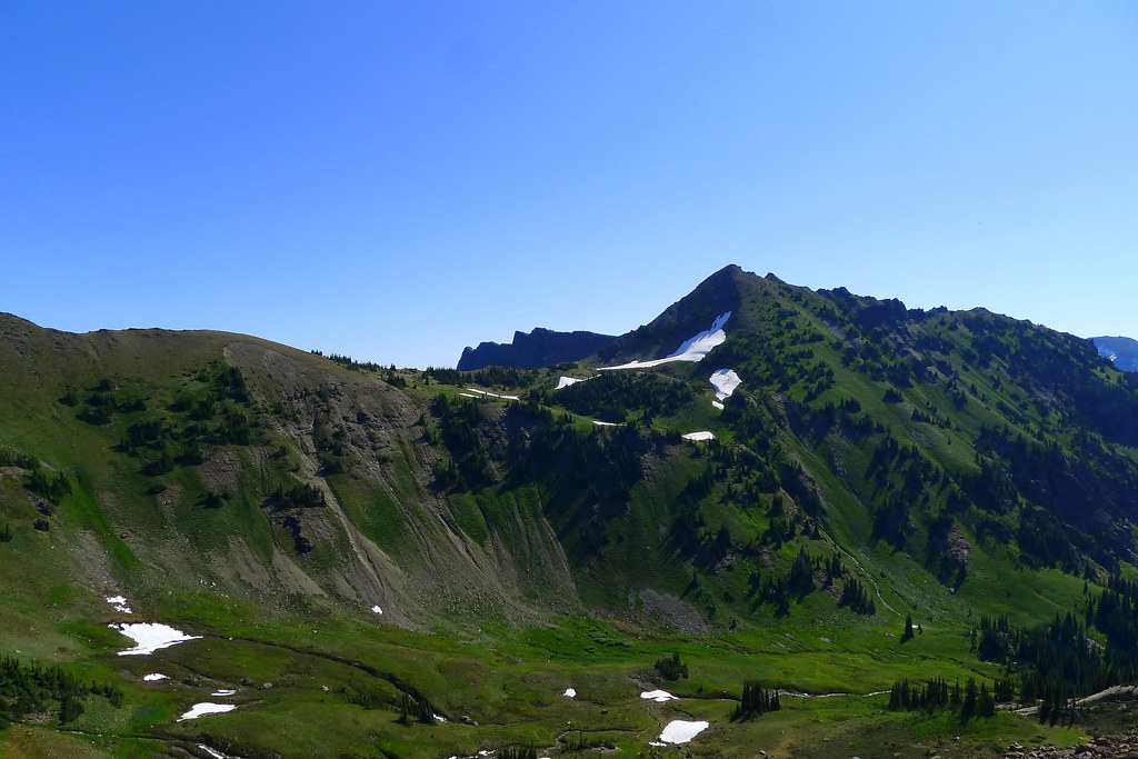
At the top of the pass the world opens up. There is a sea of mountains in all directions, green carpeted valleys emanating from their depths, and the blue sky above. I’ve spent a lot of times in the mountains. This spot, on this day, is one of the most beautiful that I’ve seen. I cannot capture it.
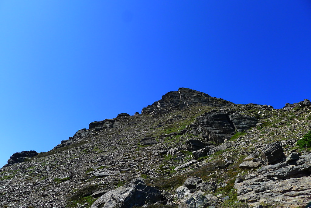
I ate breakfast above the pass, and spent the rest of the morning and early afternoon rambling around the alpine wonderland. I explored some of the valleys and lakes down below, climbed back up the ridges and scrambled to the top of the peaks. Towards the late afternoon I decided it was time to leave. I wanted to retrace my steps from earlier in the morning and the previous afternoon, dropping back over Frosty Pass before climbing up to Lake Grace on the other side of Snowgrass Mountain. I had seen the beginning of the trail that led to the lake on the hike in. It wasn’t marked on either of my maps, and I curious to see what was up there.
Soon after I started on the Lake Grace trail it became evident that it was little used. It was even more overgrown than the Wildhorse Creek trail and, in spots, had been completely wiped out by avalanches. There were occasional cairns stacked along the route, but they soon died out as I discovered their source. About a quarter mile ahead there was a group of three, slowly plodding down the trail. As I approached their leader commented that I looked like I knew where I was going. “Nope,” I replied. “Never been here before.” He had been stacking the cairns occasionally, as he found what looked like it might be a trail. They were a slow moving group, with large packs, so I darted on ahead, exploring the route and backtracking to find them when I had located what I thought was the official trail. In that manner we slowly made it to a small meadow with many creeks running through it. Above, a waterfall fell down the face of a cliff. The basin above must hold our lake, we reasoned, and prepared ourselves for the climb.
I aimed straight up and began a slow steady plod. The others, wishing to mark the actual trail rather than my adhoc route, took a longer route, slowly searching for the remnants of switchbacks. I soon left them behind and climbed the face alone.
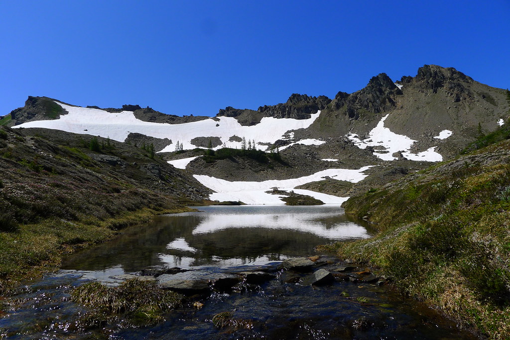
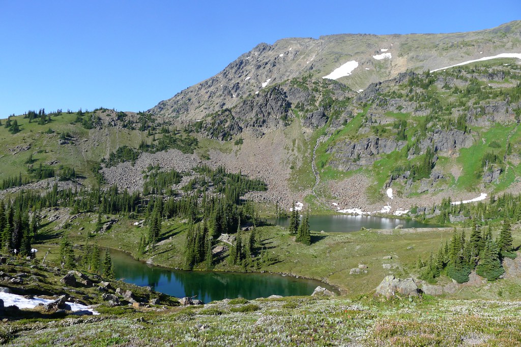
At the top was a green meadow strewn with large boulders. I weaved through them, making my way deeper into the basin, soon discovering three lakes: Lake Grace, a second unnamed lake, and a third that was likely just a seasonal puddle of snow melt. Having found our destination, I went back through the boulders and climbed down a couple hundred feet till I was within shouting distance of the others. I wanted to make sure they knew where the lakes lay and had an idea about the rest of the route. This accomplished, I climbed up again and re-entered the basin.
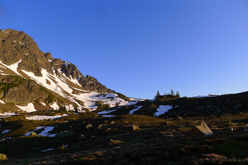
The lakes were surrounded by rough meadows covered with heather and other such small shrubs. The basin was not visited enough to result in any obvious spots to camp. With some searching, I found a bare spot of dirt. It was large enough for me to lay down on and more-or-less flat. I pitched my tarp, threw down the bivy (there were bugs up there too) and prepared for the sunset, which was soon to begin. (I wanted to keep my walking stick at full length for the long descent the next day, so I became a little creative with the pitch.)
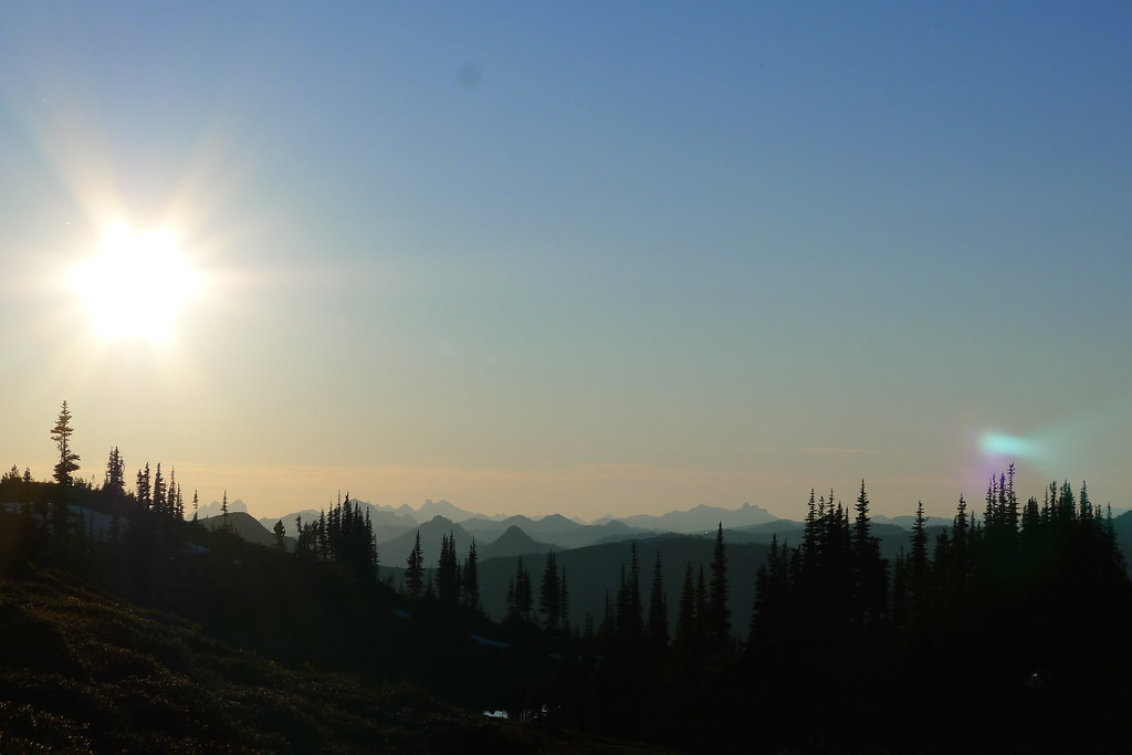
The next day I rose at dawn to watch the sun climb in the east and begin to light the peaks of the high Cascades both south and west. Before the light reached into the basin I broke camp and descended the ridge, back to the junction with the Wildhorse Creek trail below Frosty Pass. From there I left the high country behind, racing the sun down into the forested valleys of the Wildhorse and the Whitepine. Six long hours after waking I arrived back where I had begun, and left the mountains for another short time.
