Up Ingalls Way
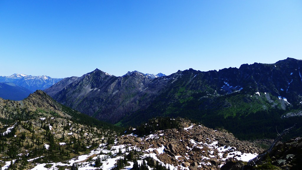
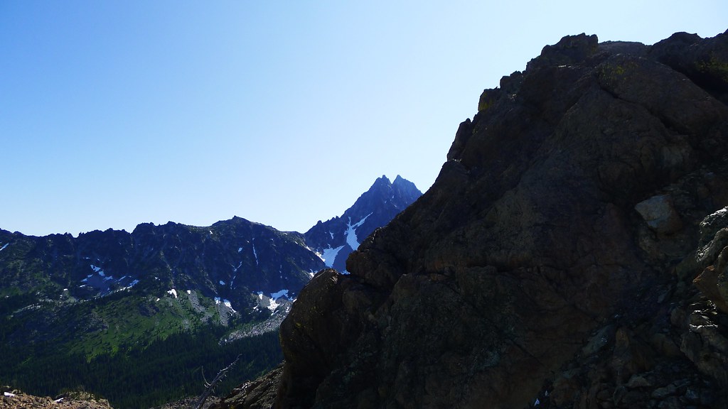
I gained the pass just before noon. On the other side, the ridge fell to reveal Jack Creek, Mount Stuart and the other paths I had traveled the year before. It’s pleasing to see that country again, and I gaze off into the Wilderness as I recall some of the moments of that past trip. I’m also satisfied that my route finding had gone perfectly to plan.
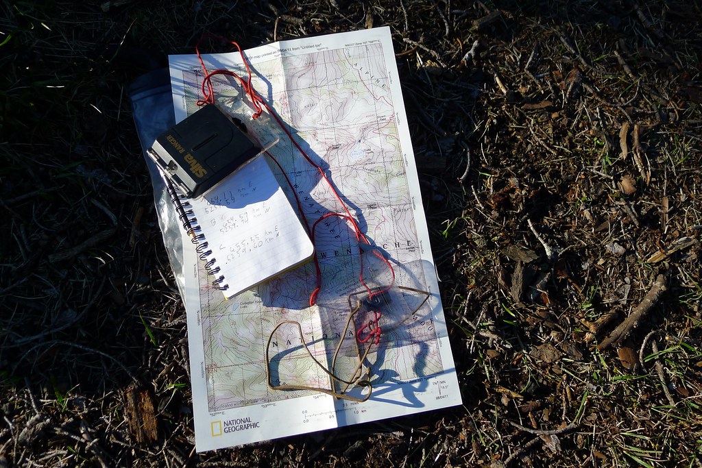
Last night, camped back beyond Lake Anne, I had taken out map and compass and, while dinner sat in the cozy, planned today’s route. The cross country section was only a couple miles, but I find it useful to plan carefully, whether the route is two miles or 20.
I had come in on the De Roux trailhead, which climbed up a ways from the Teanaway valley before reaching Gallagher Head Lake. My plans for this piece of rambling were uncertain. I had an idea or two, but no certain plan. Summer was late this year. I wasn’t sure what sort of snow I would hit, or where. Whatever conditions I did meet would factor into determining my route.
At Gallagher I met a couple who had camped the previous night at Lake Anne. We greeted one another and they asked where I was headed. “Up Ingalls way,” I said, with a vague waving of the hand. I told them that I knew I was heading to Lake Anne, and then from there I’d leave the trail, heading toward Ingalls Peak, to see what I would see.
After lunch at the lake, I continued down the trail, making my way north and west to the other side of Esmeralda Peaks.
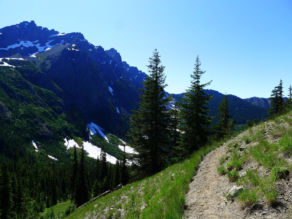
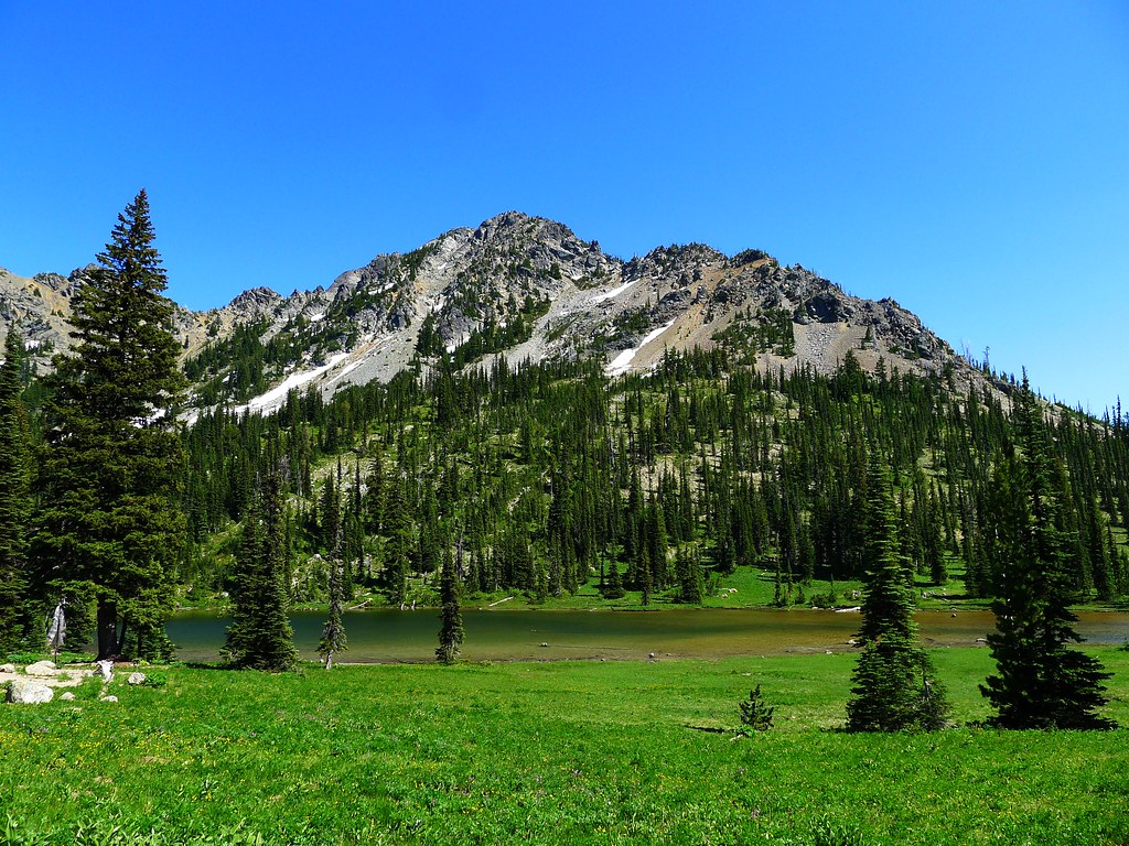
South of Anne Lake, I decided to make a late afternoon camp. I went off the trail aways and found a spot just on the edge of a cliff overlooking the Esmeralda basin. With the tarp pitched, I wandered down to a small creek for water. There, I had dinner, as well, before climbing back up to where I had made camp.
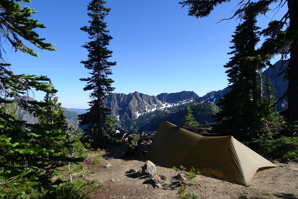
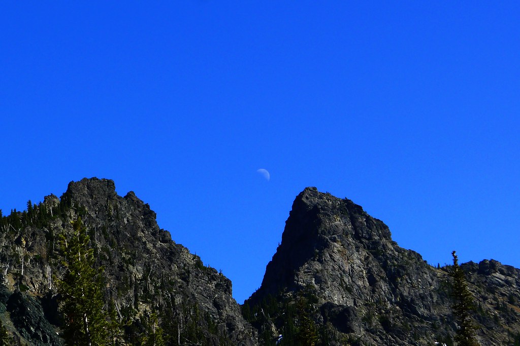
The long summer evening gave me plenty of time to take in the view and. That night, there were thousands of stars that needed gazing.
The following morning I had broken camp and climbed over the final saddle to Lake Anne. From there, I left the trail, aiming for an unnamed pass just north of Ingalls Peak. My intention was to climb over that, descend into the Jack Creek valley, and then climb back up to Stuart Pass. From there, I would go to Lake Ingalls and head back down, effectively circumnavigating the peak.
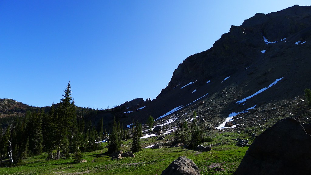
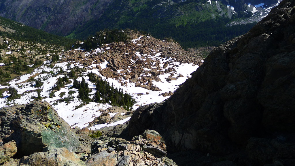
After enjoying the view at the top of the pass, I turned to the more immediate matter of the descent. The east side of the ridge was steeper than the west, and covered with crumbling talus. I tried three different ways down, but on all them I eventually had to turn around and climb back up. I try not to climb down anything I can’t climb up. Some rope and hardware would have been handy, but I had none. I had packed my ice ax, thinking it likely that there would be more snow here at 7,000 feet, but, except for the occasional small field, it was melted. Had I come a week or two earlier, most of the ridge probably would have been snow covered, which would have made the descent simpler. As it was, no route presented itself. I decided that instead of making Lake Ingalls, I would retrace my steps to last night’s camp and head down and out along Esmeralda Basin.
First, though, came lunch. On the map, someone had drawn an imaginary line along the top of this ridge, designated one side as the Alpine Lakes Wilderness, and the other as just plain old National Forest. I decided that as long as I was up here, I would enjoy my overly-rehydrated beans in the Alpine Lakes. So, I went 50 feet or so down the west side again, till I happened upon a spot to sit.
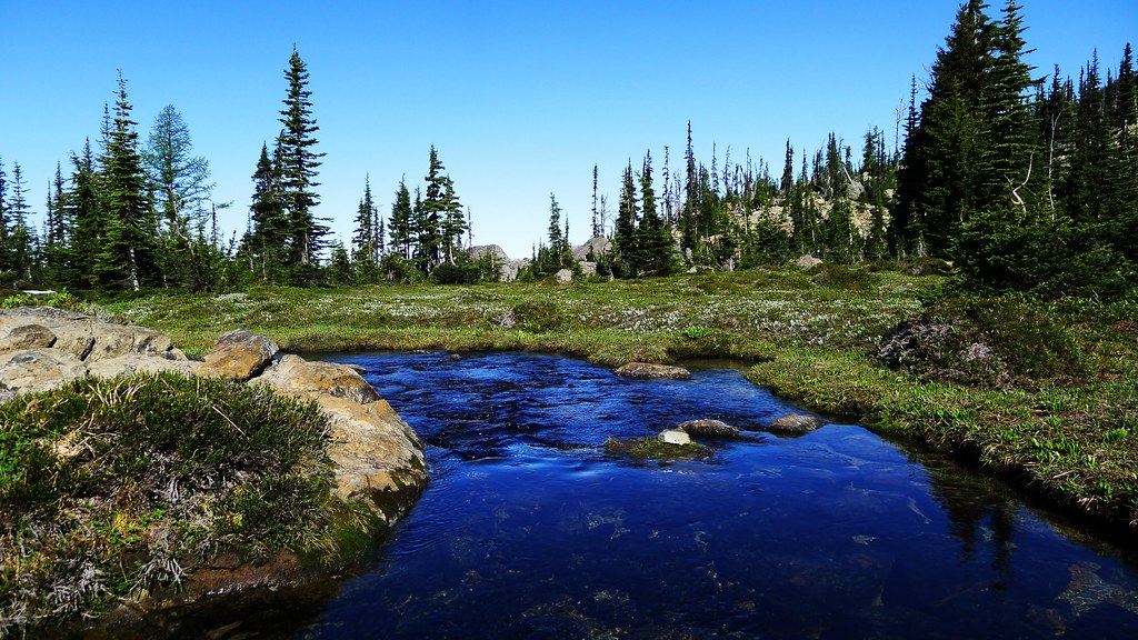
After lunch I spent some time scrambling around on the northern most peak of Ingalls, before retracing my steps back to an unmarked meadow. From there, I made for Lake Anne, regaining the trail at the lake’s northern outlet.
As I make my way towards Esmeralda, and then proceed into the basin, I enter day-hiking range and find the trail cluttered with swarms of day trippers. There are three or four backpackers mixed in among them. Near the end of the trail, I have my first meeting with that most curious specimen, the iPhone backpacker. I had heard that these people exist, going into the backcountry with only the GPS on their cell phone for navigation, but wasn’t quite sure if it was all a joke. Apparently not. He was making for Lake Anne, and I tried to point out on my map where I thought some good camping would be if Anne was overly crowded, but it was clear he did not know how to read it.
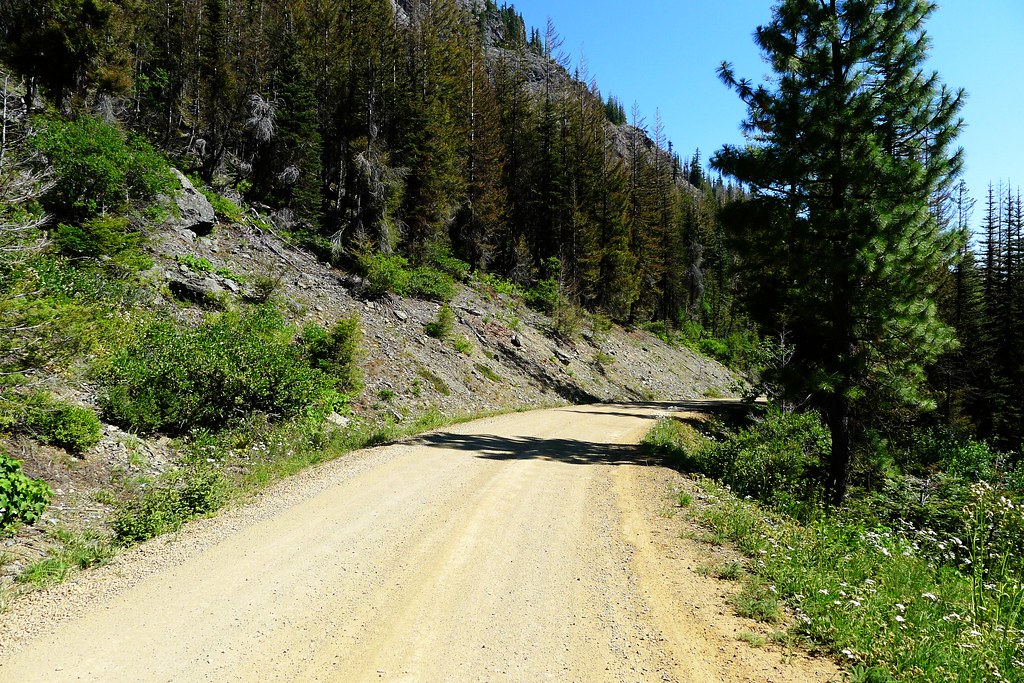
At the end of the trail I reached the road. The De Roux trailhead, my final destination is still a few miles further. I make it a mile down the road before being stopped by a woman I had greeted back up in the high country somewhere. She had come out behind me, and offered me a ride the rest of the way to De Roux.